Day 31. Great Langdale to Ambleside

Cumbria Way Day 4 & Chapel Stile to Kendal Day 1.
Distance today: 12.1 miles.
Total distance: 593.2 miles.
Accommodation: campsite.

I think the Great Langdale Campsite is worthy of another plug. I probably wasn’t in a fit state to fully appreciate it last night but is a lovely campsite in a wonderful location and with great facilities. You can even get fresh croissants at reception. I definitely hope to return under more relaxed circumstances. I still wasn’t feeling brilliant today with the sense of queasiness refusing to go away. I think both my phone and my power block must have been empathizing because they were also taking a long time to get back to full strength. Perhaps what we all needed was an easy day. With that in mind, I decided to make Ambleside my target.

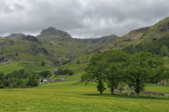
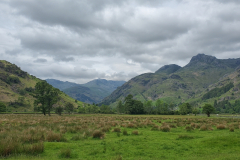
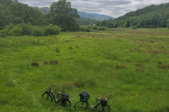
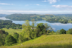
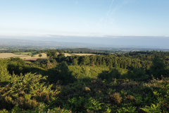
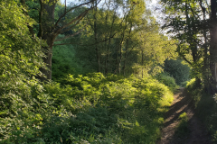
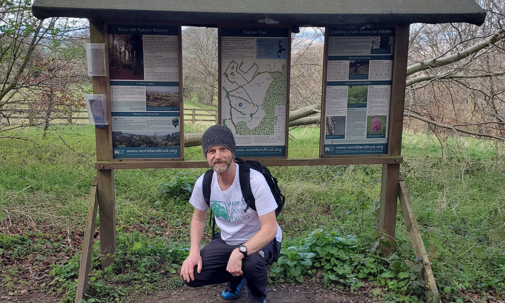
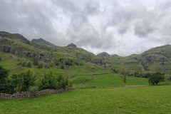
Theoretically I should have been using the Cumbria Way until I reached Chapel Stile but I ended up finding various other paths which still allowed me to avoid the main road most of the way to Skelwith Bridge. The last section was pretty familiar as Penny and I had walked it a couple of years ago. Come to think of it, that was the only part of the whole trip that I had done before. The Lake District continued to live up to expectations. While the basic landscape components might have been the same as yesterday – flat valley surrounded by steep mountainside – everything was a lot softer and greener. Still beautiful but less desolate.

From Skelwith Bridge to Ambleside, there wasn’t much option other than to follow the busy A593. There was the occasional path running parallel with the road but I was definitely happy when I reached the town. I found a pub to hole up in for a while, nursing a cup of tea while my phone charged. I had thought about treating myself to a hotel or Airbnb but couldn’t find anything that offered value for money so I ended up going to the Rydal Hall campsite. It was about a mile and half out of town in the wrong direction but it was in a nice setting. There was definitely a Christian vibe about the whole place but with just 3 other tents in my field, the campsite was fine. I finished the day with a veggie pasty and a chocolate twist courtesy of Ambleside bakery selling things off cheaply before closing.
Day 32. Ambleside to Kendal

Chapel Stile to Kendal Day 2.
Distance today: 18.3 miles.
Total distance: 611.4 miles.
Accommodation: Airbnb.

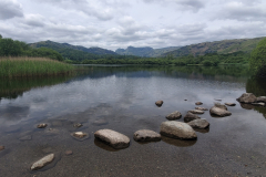
The plan was to get to Kendal. Once I got back to Ambleside, I made use of a map of local walks which I picked up from the Tourist Information yesterday. It was enough to successfully guide me out of town which, as has been established, is not my strong suit. For a short time I was then on familiar ground because I was heading out on an uphill path Penny and I had returned on when we did a circular walk. I lasted about half a mile before I got lost. When the instructions said stick to the main path, was that the smaller path which carried straight on or the larger path which veered off to the side? At some point I gave up trying to stick to any particular route and just followed whatever country lanes appeared to be running roughly parallel with the lake. I was going rogue.

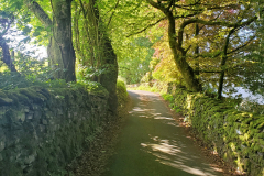
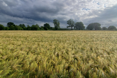
It really was a lovely day of walking. The sun was shining, the lanes were mainly traffic-free and there was a lushness to the landscape. I passed through a small hamlet which was home to an old farmhouse called Townend. Together with the other farm buildings it definitely evoked a sense of being from another era, retaining its charm without being over-preserved. I was doing my best to get lost again but luckily was steered back on course by a dog walker who showed me a shortcut to the road I needed to be on. Essentially I was trying to find a route to Kendal which didn’t require me to go all the way to Windermere. This took me through Ings and then on to Staveley where I stopped at Café Eclec for a cup of tea and a scone. It was entertaining to ear-wig the conversation of three ladies who lunch, sat at a nearby table.
I arrived in Kendal around 2ish and it for some reason it felt like another milestone. Maybe it because it marked the end of the hiking territory for a while. Time for another mini-pilgrimage. The last time I was there was with Penny 7 years ago and we had spent an evening in the bar at the Brewery Arts. It felt fitting to have another pint there.

After my usual last minute accommodation search, the best I could come up with was an Airbnb. It wasn’t particularly cheap but at least it was fairly central. When I got there the place wasn’t anything special but there was a pint of milk in the fridge and the owner did offer the use of their washing machine. Pretty much all of my day-to-day clothes went in there and after hanging everything out on a line, I stayed in my room, recharging and generally catching up on things. Out in the evening with a real hankering for a wood-fired pizza. It soon became apparent that I’d left it too late and after a fruitless search around town, I returned without having had pizza or beer. Time for another rehydrated meal. Somehow or other I managed to resist the temptation to switch on the television which, given my usual addiction, I thought was very commendable. I think at the heart of the decision was me enjoying not knowing what was going on in the world.

Day 33. Kendal to Bolton-le-Sands

Lancaster Canal Day 1.
Distance today: 26 miles.
Total distance: 637.4 miles.
Accommodation: campsite.

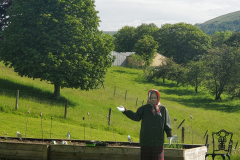
Penny’s birthday. I’m honour-bound not to divulge her age but one of the photos has a small clue. I was definitely feeling guilty about being away, galavanting around the country, but she’d let me off the hook by allowing me to pick up the tab for a glamping weekend. Not much galavanting going on today as I began my towpath marathon. When I was planning the trip I always knew the price I would pay for getting to travel through the Lake District was spending a similar amount of time canalside from Kendal to Leigh. I tried to look at it optimistically as easy miles but in truth, I wasn’t really looking forward to it.

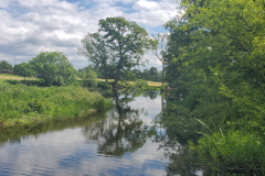
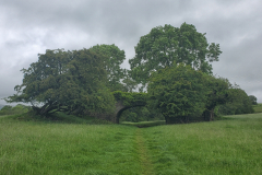
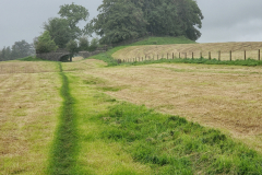
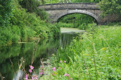
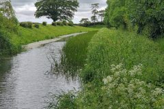
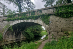
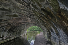
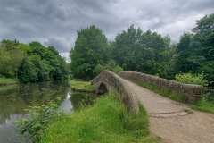
First up: the Lancaster Canal which connects Kendal to Preston. The start of the canal seemed to have a couple of vital ingredients missing, namely water and somewhere for the water to go. In its place was now simply a tarmac path. As I headed further into the countryside, I passed through a variety of fields and weed-strewn pathways with still no evidence a canal had ever been there. Eventually, I did start to see a few hints in the form of canal-shaped dips in the land and, more obviously, bridges that might have once served a purpose but were now largely abandoned follies. The fact that the bridges all appeared to be in near-perfect condition – albeit covered in vegetation – stood as testament to the engineering that went into them.

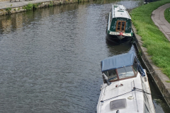
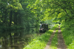
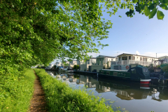
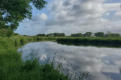
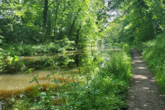
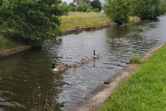
Bit by bit, a ‘proper’ canal started to emerge. First came a recognizable but overgrown water channel, then something that looked vaguely navigable and finally, a genuine aquatic highway. Okay, there still wasn’t much activity but there were boats and moorings. At least it was trying to be a canal. Ironically now it had fully evolved, it was less interesting to walk next to as it all got a bit repetitive. Meanwhile, the towpath wasn’t particularly well maintained which meant for a lot of the time I seemed to have to fight my way through the damp undergrowth. Along the way I crossed paths with the M6 four separate times. On one occasion, I assumed that I could follow the path all the way under the motorway as you can back home at the bridge near Stonehouse. I assumed wrong and so needed to backtrack to find the official detour.

I took another detour at Carnforth to have a coffee and pick up some provisions at Booths (aka Waitrose of the North).

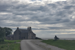
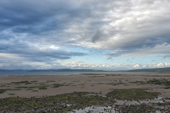
And so to the matter of where I was going to sleep tonight. While there were various caravan parks dotted around, there didn’t seem to be many campsites. The most convenient one I could find was the Archers at Red Bank Farm campsite at Bolton-le-Sands which was about a mile from the canal. Is that the sea I see before me? Yes, I had officially made it to the west coast. Morecambe Bay to be precise. I’m not sure why exactly but if felt like another milestone. I reached the campsite around 6pm which meant reception was closed and I needed to speak to the on-duty warden. He charged me £16 which I thought was a bit cheeky but if that was the price, that was the price. The field set aside for those of us who didn’t need an electric hook-up was big, open, and disappointingly on a slope. Why oh why? Being one of the few people staying there meant I did at least get to pick my spot. It felt like it was going to be a windy night so I pitched close to the hedge. Not far away were a couple in a campervan who had originally parked at the top of the field before coming to the same conclusion I did. Al and Jan were their names and after a nice chat, they very kindly handed over a tenner for the cause. They also mentioned that they had paid £16 as well and we all agreed I had paid too much. More out of curiosity than complaint I went to double-check with the warden if the price was right. He said he would confirm with reception tomorrow but not long later he came up to the tent and gave me £10 back. £6 was clearly a lot more reasonable.

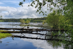
My last activity of the day was to go for a quick wander down to the shore. I say quick because the wind was biting and I didn’t fancy hanging around for too long. Just long enough to admire the long empty beach and the dramatic sky.
Day 34. Bolton-le-Sands to Garstang

Lancaster Canal Day 2.
Distance today: 18.5 miles.
Total distance: 655.9 miles.
Accommodation: campsite.

Slightly comical start to the day as I found myself keeping pace with a bin lorry as I walked along the road back to the canal. When we reached the level crossing, we all had to wait 10 minutes for the train to pass. I got chatting to the crew and was asked to bring back a pasty once I’d reached Cornwall. Sure, what flavour?

Back to the towpath. Again, not the most scintillating scenery but it was getting the miles done. When I reached Lancaster I headed into the city to visit my favourite phone-charging outlet. It feels like Wetherspoons has become the modern-day community centre. A couple of woman there with their young kids were bellowing at the top of their voices. One of them was obviously trying to get through to some service on her phone and the whole pub was treated to the on-hold muzak. Not exactly the serene place to contemplate life but after a cup of tea, a pot of porridge, and a phone charge I was happy enough.

I think maybe because I have walked along the canal near Stroud many, many times, it is hard for me to get excited by any canal. That said, it’s almost always pleasant and occasionally there is something to pique my interest. And … it’s easy miles.

Once again, handy campsites were in short supply. With nothing in the 20 to 25 mile range, I ended up at the Greaves Farm Caravan and Camping site which might not have been as far as I wanted to go, but was at least right by the side of the canal. £10 for the night plus £1 for a 5 minute shower, which did make me smile. I don’t know why, it just felt Scrooge-like. While the campsite was a bit isolated, if you walked across the fields one way, you’d get to a pub and if you walked down a lane the other way, there was a garage with a shop. After a mini power nap I headed to the shop and discovered a fish and chip shop on route. As it was only around 5pm, it wasn’t really tea time but I figured I couldn’t be bothered to go back there later so I stopped and had an early fish supper. Back at the campsite I had a shower – for a pound – and that was me done for the day.

Day 35. Garstang to Ashton-on-Ribble

Lancaster Canal Day 3.
Distance today: 21.3 miles.
Total distance: 677.2 miles.
Accommodation: hotel.

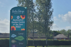
The pleasant but generally unnoteworthy walk along the canal continues. At one point I passed by the Smithy Leisure Park and saw that at the deluxe end of the static caravan market you were offered your very own mooring. Would you need a narrowboat and a static caravan? Further on, I took a minor detour to visit the Barton Grange Garden Centre. According to their sign (and the Garden Centre Association), they are the Destination Garden Centre of the Year. As tempting as it is to be sarcastic about the whole thing, I was actually just sad that for some people, a visit to a garden centre probably did represent a highlight. Surely there has to be more to life than that. The place was huge but as the restaurant was disappointingly expensive, I settled for a cup of tea. I was there to break up the day more than anything else.
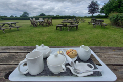
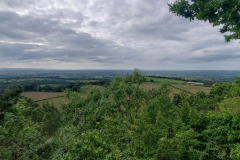
I didn’t quite make it to the end of the canal at Preston because the accommodation I had chosen was in nearby Ashton-on-Ribble. Claremont Hotel was nothing particularly special but it was convenient and cheap enough. After doing a bit of laundry and lazing around for a while I headed out to find something to eat. The Lane Ends pub was at the end of the road and even though it was only 7pm, the locals were already at full tilt. It was all a bit loud and lairy. Added to this there was a 20 minute wait for food so I ended up just staying for one beer before heading off. Not far down the next street I came across the Mango Tree Indian takeaway and decided a curry was as good idea as any. I just ordered a simple curry and rice dish with some onion bhajis but when I was handed the carrier bag with all the food in it, I couldn’t believe how heavy it was. I was always worrying about re-fueling and I think I was about to re-fill my tank. Back at the hotel, I was heading to my room when the woman on duty kindly offered me a plate and some cutlery which I thought was a nice gesture. The curry was very tasty but although I hate waste, I have to confess to not being able to eat it all. I did my best but alas, it was one super-size bhaji too many.

Day 36. Ashton-on-Ribble to Culcheth

Lancaster Canal Day 4, Across Preston, Lancashire Way Southern Loop, and Leeds & Liverpool Canal.
Distance today: 33.7 miles.
Total distance: 710.9 miles.
Accommodation: campsite.

After failing to make the most of the free breakfast (my belly still being full of curry), my first task was to finish walking the Lancaster Canal path. I only had about another mile to do and once again I was disappointed that a relatively well-known trail (I had walked) ended in a whimper. No plaque, no fanfare, no anything.

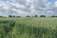
The next task was finding my way across town. When planning the trip I had split the journey into 26 sections. At 1 mile in length, Across Preston was my second shortest section. I knew it was only there to join 2 established trails but it still counted. It felt like the equivalent of making a list and including something you had already completed just so you could tick it off. After Across Preston came the slightly longer Lancashire Way Southern Loop. This was an LDWA trail and to be honest, I ended up walking a loose interpretation of it. It was easy to miss a turning – or in my case, a bridge – but as it was weaving its way through towns, it didn’t really matter that much because there was generally another path which would also get you to where you needed to go.

3 sections down, 1 to go. Time for another tow path. Once I reached Wheelton, I then had the simple task of following the Leeds & Liverpool Canal for the next 20 or so miles. Being day 4 of my canal plod I think I just zoned out. Apart from the occasional bird and the occasional change in backdrop – including a fair chunk of industrial landscape near Wigan – there was little else to report. My main concern became where was I going to sleep. As ever, there weren’t many campsites around. I’m sure hardcore hikers would wild camp anywhere but I still wasn’t comfortable doing it too close to civilization. And I wasn’t going to splash out on another hotel. In the end I chose to aim for the Laylands Farm campsite which was where the other Adam had stayed. Doing some rough calculations, I knew I would be arriving late and so when I rang to book, I asked them if they’d be okay with that. Ian, the guy who ran the place, pretty much said get here when you get here which took the pressure off.

When I reached Pennington Marina, that was theoretically the end of my walk along the Leeds & Liverpool canal. There were a couple of different ways I could get to the campsite from there so I rang Ian to get his recommendation. He reckoned I should continue along the canal until I got to Atherleigh Way. In hindsight, I don’t think it was the shortest route but it was possibly the most straightforward. In my head, the campsite was just a little way from the canal. The reality was it was 4 miles from the marina. After finding a token shortcut through some fields, I finally made it to the campsite around 9pm. God, I was knackered. Ian was there to meet me and as he showed me around the facilities, we chatted about my trip and my walk today.

Do you need anything else? he asked.

I don’t suppose I can buy a beer off you can I?

No. But I can give you a beer.

I followed him to his kitchen and when he opened the fridge it was absolutely full of beer which had apparently been given to him by appreciative customers. He pulled out 2 large bottles of San Miguel and said Are these okay? They certainly were. I asked him how much I owed him for the pitch and his response was Nothing. End of conversation. I was really, really touched. It was such a lovely gesture after a particularly long day.

As nondescript as the day might have been, it quietly takes the title of the furthest distance I have ever walked in one day.

Day 37. Culcheth to Delamere

Leigh to Stockton Heath and Delamere Way.
Distance today: 29.3 miles.
Total distance: 740.2 miles.
Accommodation: campsite.

I woke up definitely still feeling the effects of yesterday’s long walk and the bad news was I had a similar distance to do today. No prizes for guessing that the lack of handy campsites was entirely responsible. The best I could find (barely) within range meant going all the way to Delamere. Hey ho. The faster I do these middle sections, the faster I get to the more interesting stuff. Before I could think about Delamere, I had Warrington to navigate to and through. I think it was about 7 miles there and most of that was on pavements next to busy roads. Efficient but dull – the route, not me obviously. Didn’t spend too much time in Warrington – enough to get some more dehydrated food from Millets and to have a quick cup of tea. Next stop Stockton Heath. It looked like quite a trendy little place with a bit of money about it. Again, I didn’t stop long, just treating myself to a flat white because you never know when you’re going to find another one.

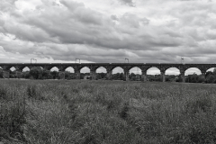
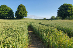
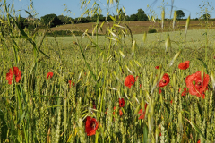
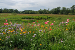
What better way to get to Delamere than along the Delamere Way. My 16th section. Take the first road on the right after the Bridgewater Canal bridge and just follow the signs. If only. In spite of the occasional unintended detour it was a pleasant country stroll – certainly nicer than the leg to Warrington. Lots of fields which looked like they were ready to be harvested, and even the occasional interesting bridge – including Dutton Horse Bridge and Dutton Railway Viaduct. I did find it odd that just before Acton Bridge, the path ran right by the railway line for about a mile. Why would you design a trail to do that?

When planning the trip, I saw I would be walking close to the village of Norley. I wish I had given myself more time to visit because as one of the places where I had lived growing up, I associate it with some of my earliest memories. Maybe they are just memories of memories now. I was only 5 or 6 at the time. I remember the outbreak of foot-and-mouth meant that I had to walk through some kind of trough with liquid in it in order to disinfect my wellington boots. I also remember some big gates slamming against my finger. Ah, those were the days.

I finally reached the Delamere Forest Camping and Caravanning Club site at around 8.30. Like yesterday, I’d rang ahead to warn them I’d be arriving late and again, they were very accommodating. Although no free beer this time. Food, shower, bed.

Day 38. Delamere to Bickerton Hill

Delamere Way and Sandstone Trail Day 1
Distance today: 23.4 miles.
Total distance: 763.6 miles.
Accommodation: wild camping.

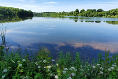
I was less than a mile away from as far as I was going on the Delamere Way and the beginning of the Sandstone Trail. That mile took me through the forest as it skirted a small lake. I couldn’t see the lake initially but it sounded like it was home to thousands of birds. Sadly, as I suspected, they were mostly seagulls as opposed to exotic foreign visitors. The setting was nice though.

The start of the Sandstone trail was marked by a big information board and in my stupid tired state, I naturally assumed it was the very start of the trail not just the beginning of what I was going to do. Consequently when I saw the first waymarker, I also assumed it had to be leading me south. Where else would it be taking me? A couple of miles later I was sitting at the outside café at Stonehouse farm, studying the map while I waited for my tea and scone to arrive. It was at this point I remembered that the trail started in Frodsham and I was heading north (well, north-west to be precise). The mistake was so comical, I didn’t even bother getting angry about it. I just enjoyed my mid-morning refreshments and tried to find the quickest route back to the trail which didn’t involve retracing my steps.

If was another day of fields and country lanes. Nothing special but pleasantly inoffensive. Tarporley, Bunbury, and Beeston were all familiar names from my childhood and as with Norley, it had been tempting to spend more time re-visiting them but an end-to-end challenge waits for no man. I did manage to grab a coffee at the café attached to Beeston Castle just before it closed at 4pm.

It had been a while since I had done some reckless hiking. Time to address that. The trail happily led you up Raw Head but wasn’t particularly clear about how you were meant to get down. With a nagging sense of déjà vu, I just kept on going until it wasn’t possible to (easily) go any further. My choice then was to retrace my steps (boo, hiss) or negotiate a steep fern-covered slope in the most ungainly manner possible. Large rucksacks do not help in this situation. On the danger scale I think we are talking closer to spraining an ankle than imminent death.

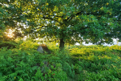
The next hill was Larkton Hill which, like Raw Head, formed part of Bickerton Hill. By the time I’d climbed to the top, it was gone 7 o’ clock and with no campsite in the vicinity, I resigned myself to the fact I’d be wild camping. Just a question of where. There was a man sitting on a nearby bench and I asked him if he knew where I could pitch a tent. His response was pretty much: take your pick. I was a little bit hesitant because he was slightly weird in an awkward rambler/serial killer kind of way. But I decided he was harmless enough and he was right. Although there was lot of low level vegetation around, there were still enough places where you could hide a tent. I opted for a spot under a big oak tree which was about 20 yards from the main path. For a while I could hear people walking by and even though I was pretty well concealed, I waited until it got a bit darker before setting up my tent. Not entirely comfortable that at least one person knew where I was camping but I guess uncertainty is the price you paid for a free pitch.

Day 39. Bickerton Hill to Whitchurch

Sandstone Trail Day 2.
Distance today: 12.3 miles.
Total distance: 775.9 miles.
Accommodation: campsite.

I was up, packed, and ready to go by 6 o’clock but this was still not early enough to beat a jogger who had already run up the hill and looked like he was having a breather before he ran down again. One thing you could say about Bickerton Hill was that it offered some lovely panoramic views. The sky was clear and it already felt like it was going to be a beautiful sunny day. Even better news: today was the day I was going to get my new boots. Big Sis to the rescue. Sian had very kindly agreed to meet me at Grindley Brook, which was where I hoped I would be staying.

As fine as the weather was, the trail continued to be fairly lacklustre. More fields waiting to be harvested. I passed by the Manor House Stables at one point and this did at least provide an interesting distraction. The whole operation oozed money and seeing the number of staff and horses made me wonder how much would it take to keep this kind of thing going. Lucky for them they had ex England footballer, Michael Owen on board.

The last mile and half to Grindley Brook were along the canal which, ironically given my previous moaning about them, came as a welcome change. I bumped into a guy called Peter who was a member of the Whitchurch Walkers walking group. As such, he was probably more interested than most about my trip and before he left, he generously gave me £20 for the cause. Amazing.

When I reached Grindley Brook, I sat down for a cup of tea at a canalside café. When I rang the the Canal Side Caravan & Camp Site to ask if I could book a tent pitch, the man who answered the phone clearly couldn’t be bothered with any niceties. We’re closed. Did he know of any other campsites in the area? No, bye. Thanks for that. After a quick google, I found Hadley Park Caravan Park which was not far from Whitchurch. When I rang them, the conversation was almost the exact opposite of my previous one, the upshot being they had space and I was really going to love their new showers.

I arranged to meet Sian at the Horse and Jockey pub and she duly arrived at around 12 o’clock with boots and a very leggy, excitable Labrador puppy called Ruby. Growing up, we’d had a black lab called Scrumpy and Ruby was definitely more lean compared to her slightly shorter and more barrel-shaped predecessor. It was good to see Sian in happier circumstances given what she had been through over the last couple of years. We grabbed a bite to eat at the pub, and spent a couple of hours sat outside catching up. I tried on my new boots and I as I hoped, they felt like they didn’t need any wearing in at all. The G-390s may not be perfect but they were very comfortable. My parting gifts to Sian were my old boots and a few maps – for her to keep until we next met up.

Back on the towpath, I headed for Whitchurch. Did I mention that it was hot? In spite it being a relatively short day for me, I was flagging. It was probably a combination of the heat and a lack of both sleep and hydration. The campsite was fortunately right next to the canal and was a big open space with a central lake/pond. They had a couple of shepherd huts and pods but the majority of customers had caravans or camper vans. I think I was the only one there in a tent and so probably the only one who was bemoaning the fact there was very little shade.

By the time I’d pitched my tent, it was still only 4 o’clock and so I thought I’d head into Whitchurch to get some provisions. It surprised me how far away it was. I always imagined canals to be close to the town centre. An aimless wander exploring the various streets, culminated in me stocking up at the commendable Refill Your Boots and the less commendable Sainsbury’s. Back at the campsite, aside from the usual food, shower routine, I took advantage of the comfort offered by a small hut next to the lake. Apart from catching up on Instagram, my main task was to work out how I was going to rejoin the MaeIor Way seeing as I hadn’t anticipated going as far as Whitchurch. It’ll be fine.

Day 40. Whitchurch to Halton

Maelor Way. Warning, do not use this trail.
Distance today: 23.9 miles.
Total distance: 799.8 miles.
Accommodation: campsite.

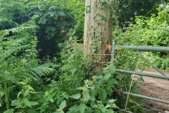
The plan for the day was to try to get as near to Chirk as I could. To rejoin the Maelor Way, I had a mile and a half to walk along the busy A525, which ended up being fine because the road had decent width verges. It was at this point it all started to go wrong. I can accept responsibility for choosing not to use accurate GPS gear and for being too lazy/incompetent to not consulting a map every time I thought I might have strayed off course but none of these things take away from the fact that the trail was rubbish. I guess it was a bit of Catch 22 in that it wasn’t easy to follow because people didn’t use it and people didn’t use it because it wasn’t easy to follow. The waymarkers were clear enough when you were about to leave a road but then they vanished and you were left walking through wet field after wet field trying to look for any indication that you were heading in the right direction. It was thoroughly frustrating. At one point I found myself hacking through a long tunnel of overgrown vegetation, thinking this can’t possibly be the right way, only to discover a waymarker at the end confirming that it was. And the final insult? There was virtually nothing of interest to look at. Other than providing an off-road link between the Sandstone Trail and Offa’s Dyke what exactly was the purpose of this trail? There was one slightly surreal distraction when I bumped into someone riding a very large white horse. The rider had the manner of an old colonel and he could emphasize with my plight because he had written something about the history of the local school. Back in the 1860s, the kids had to dry out all their clothes because to get school, they too had to walk to through wet fields.

By the time I was on the approach to Little Overton, I made an unprecedented decision. I was going to abandon the trail. The completist in me really hated to do it but it simply wasn’t worth it. For the rest of the day, I would be walking along roads.

Time to think about accommodation. Lady Margaret’s Park Club was closed for some reason. Halton Farm Caravan and Motorhome club didn’t get back to me even after I’d left a message. My final hope was Wild Cherry Camping and the early indicators weren’t good. When I rang up, the woman said they were full. Once again I did my best pleading – just for one night, doing John o’ Groats to Land’s End, I’ll take anything, … She thought about it for a while and finally said that yes, they would be able to find me a spot. Brilliant.

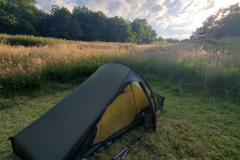
When I arrived at the campsite, it turned out to be the perfect antidote to my troubled day. I was met by Mel and Rob who ran the place and while giving me a mini tour, they explained their ethos. Basically, they were trying to do everything in an environmentally responsible way. This included having a limited number of pitches and leaving aside areas for rewilding. They were also a certified Greener Camping Club campsite which in itself meant they had to meet certain criteria. This may all sound very worthy but the site itself was just lovely. My pitch was a ‘spill-over’ area normally used when people who had booked a bell tent had extra visitors staying. As no one was using the bell tent at the time, it meant they were happy to offer me the guest spot. Imagine a mown circle within a pasture of wild grass, and imagine it as the sun was setting. For one night at least, I was treated to a precious sanctuary.