Delamere Way and Sandstone Trail Day 1
Distance today: 23.4 miles.
Total distance: 763.6 miles.
Accommodation: wild camping.
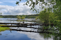
I was less than a mile away from as far as I was going on the Delamere Way and the beginning of the Sandstone Trail. That mile took me through the forest as it skirted a small lake. I couldn’t see the lake initially but it sounded like it was home to thousands of birds. Sadly, as I suspected, they were mostly seagulls as opposed to exotic foreign visitors. The setting was nice though.
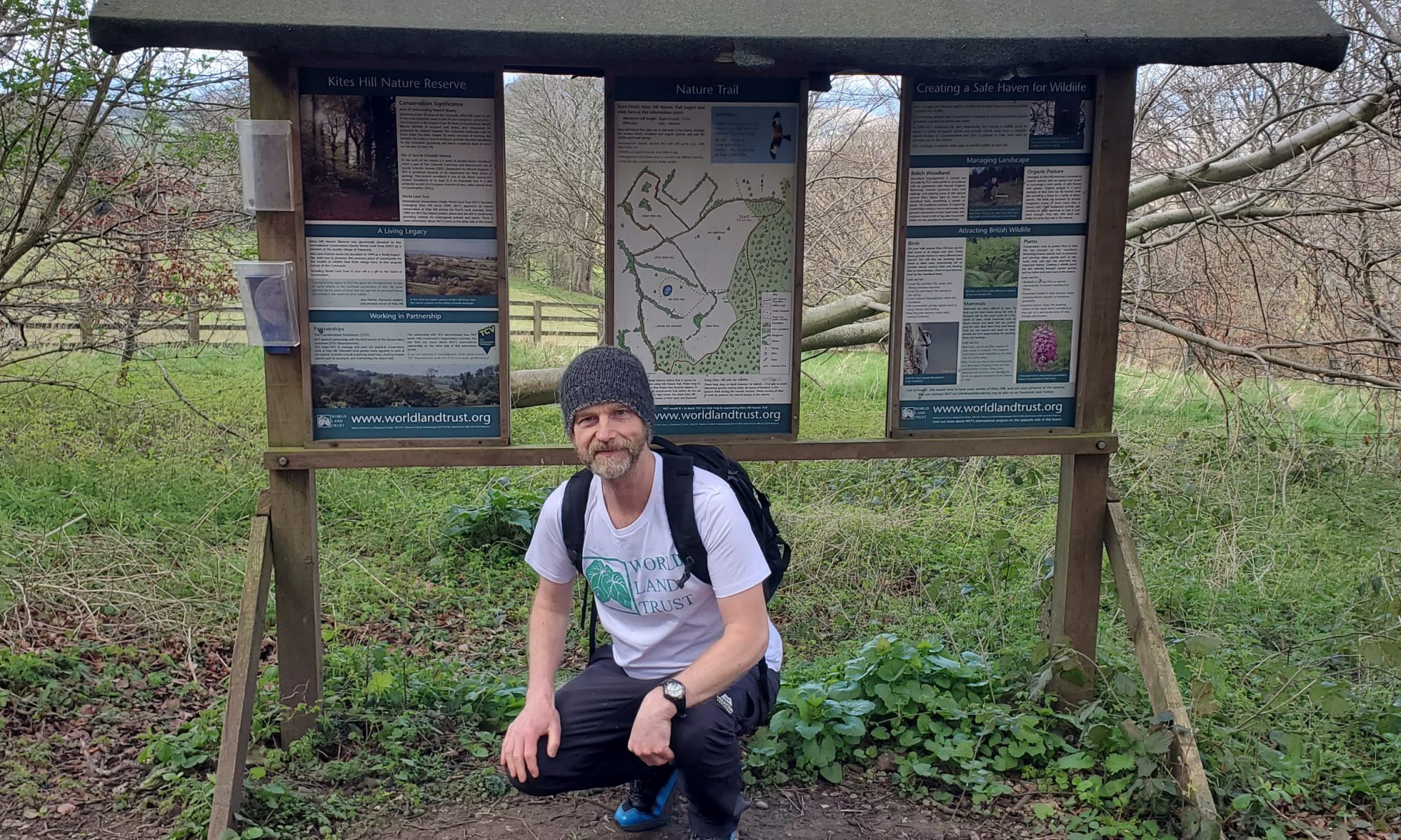
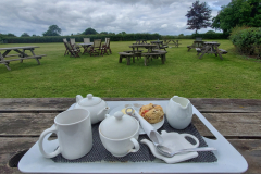
The start of the Sandstone trail was marked by a big information board and in my stupid tired state, I naturally assumed it was the very start of the trail not just the beginning of what I was going to do. Consequently when I saw the first waymarker, I also assumed it had to be leading me south. Where else would it be taking me? A couple of miles later I was sitting at the outside café at Stonehouse farm, studying the map while I waited for my tea and scone to arrive. It was at this point I remembered that the trail started in Frodsham and I was heading north (well, north-west to be precise). The mistake was so comical, I didn’t even bother getting angry about it. I just enjoyed my mid-morning refreshments and tried to find the quickest route back to the trail which didn’t involve retracing my steps.
If was another day of fields and country lanes. Nothing special but pleasantly inoffensive. Tarporley, Bunbury, and Beeston were all familiar names from my childhood and as with Norley, it had been tempting to spend more time re-visiting them but an end-to-end challenge waits for no man. I did manage to grab a coffee at the café attached to Beeston Castle just before it closed at 4pm.
It had been a while since I had done some reckless hiking. Time to address that. The trail happily led you up Raw Head but wasn’t particularly clear about how you were meant to get down. With a nagging sense of déjà vu, I just kept on going until it wasn’t possible to (easily) go any further. My choice then was to retrace my steps (boo, hiss) or negotiate a steep fern-covered slope in the most ungainly manner possible. Large rucksacks do not help in this situation. On the danger scale I think we are talking closer to spraining an ankle than imminent death.
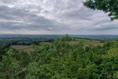
The next hill was Larkton Hill which, like Raw Head, formed part of Bickerton Hill. By the time I’d climbed to the top, it was gone 7 o’ clock and with no campsite in the vicinity, I resigned myself to the fact I’d be wild camping. Just a question of where. There was a man sitting on a nearby bench and I asked him if he knew where I could pitch a tent. His response was pretty much: take your pick. I was a little bit hesitant because he was slightly weird in an awkward rambler/serial killer kind of way. But I decided he was harmless enough and he was right. Although there was lot of low level vegetation around, there were still enough places where you could hide a tent. I opted for a spot under a big oak tree which was about 20 yards from the main path. For a while I could hear people walking by and even though I was pretty well concealed, I waited until it got a bit darker before setting up my tent. Not entirely comfortable that at least one person knew where I was camping but I guess uncertainty is the price you paid for a free pitch.


