South West Coast Path Day 5.
Distance today: 27.3 miles.
Total distance: 1175.5 miles.
Accommodation: campsite.
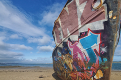
A long day but with enough variety to keep it interesting. There was a nice photo opportunity when the route passed closed to the shoreline of the River Taw. A couple of boats – presumably trawlers – looked like they had become grounded and subsequently abandoned. Graffiti artists had seized the opportunity to use one of the hulls as a canvas. Better there than my tent.
Helen had recommended the food at Johns Of Instow so I stopped there for some breakfast. I think she had warned me it was a bit pricey and you could get a sense of that just walking around the place. What the heck. I did agree with their philosophy about cake.
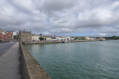
Were I not a person with strong moral fibre, I could have caught a ferry to cross the short stretch of the River Torridge which separated Instow from Appledore. Instead, the SWCP takes you all the way to Bideford to cross the bridge there before following the river back on the other side. What’s an additional 6 miles when you’re already doing 20?
Appledore looked like a lovely little village. The rows of brightly painted houses were very eye-catching, making me wonder what percentage of them were either second homes or Airbnbs? During this trip, accommodation (or the lack of it) had become a pre-occupation but I hated to think that the heart of the village had been ripped out by a mix of desperation and greed.
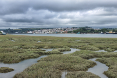
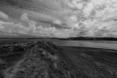
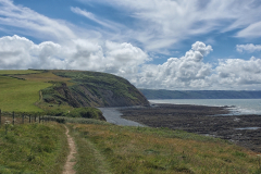
Once again, the SWCP proved annoyingly true to the idea of a coast path. Why go direct from Watertown to Westward Ho! when you could take a more leisurely route, skirting the edge of the mud flats and then wandering along the beach? Why indeed. Despite my crankiness, I did not regret the extra foot work. Thankfully, it’s very rare when I cannot appreciate a view where the land meets the sea.
I’m not sure I fully appreciated Westward Ho! but judging by the crowds, it was easy to assume a lot of other people did. I stayed long enough to pick up some supplies and then I was back to my more familiar cliff-top walking. And relax.
I’d struggled to find a campsite and ended up choosing Roey’s Retreat Campsite at Clovelly Cross. It was about a mile and half inland from Clovelly which was where the SWCP passed through. More significantly, it was at the top of a steep hill. On the approach to Clovelly, the SWCP followed The Hobby Drive which under normal circumstances made for a pleasant woodland walk. However, it was already past 7pm and I realised that the further I followed the trail, the further away I was going from the campsite and the more hill I would then have to climb. I made an executive decision to abandon the trail and go cross-country, the aim being to join the A39 in as direct a route as I could find which ended up being across a couple of fields and along a farm drive. My destination was then less than a mile up the road.
The campsite had only been open for about a month and I think the couple who ran it had a farm somewhere nearby. When they came to do their rounds, I bought a can of cider off them. They seemed keen to quiz me on what kinds of food and drink would go down well with walkers. He suggested bags of stew (!) while she thought they could perhaps sell a couple of slices of bread rather than a whole loaf. My personal theory? You can’t go wrong with beer, pizza, and cake.
